House Finder AI: Property & Exterior Locator
Analyze exterior roof snow-load geometry, sunlit wall bearings, electrical service masts, and municipal streetscapes to verify property locations.
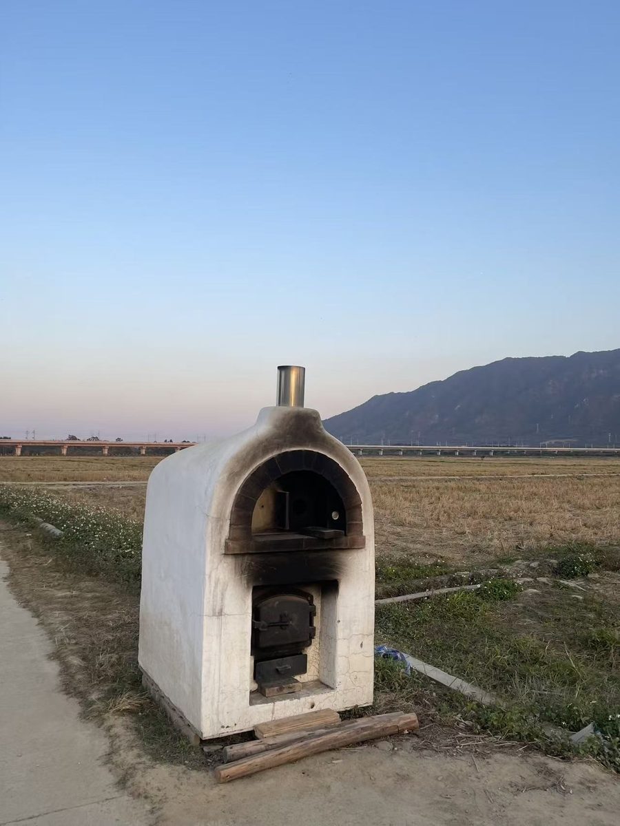
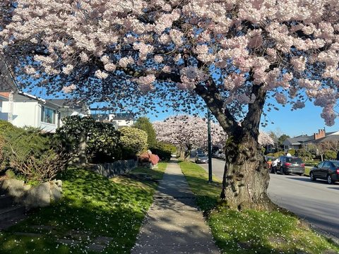
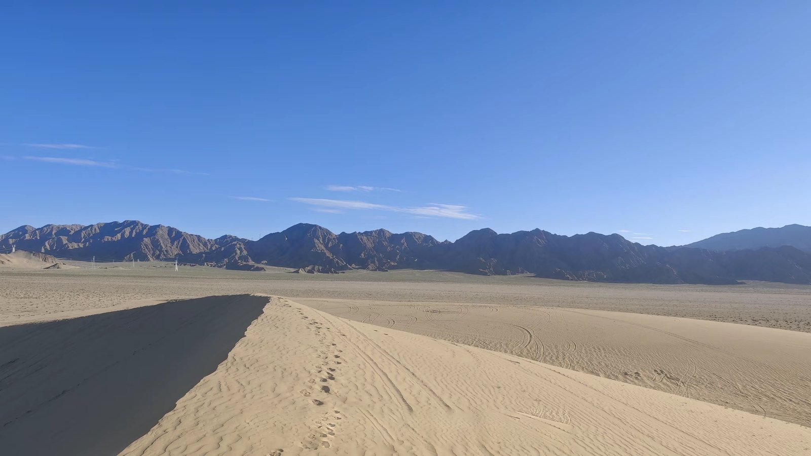
Verde River Viaduct Sector, Cottonwood AZ
34.7524° N, 112.0118° W · ±120m radius
With right facade lit and left facade shaded under 142.6° SE sun, camera heading is mathematically locked to 78°–94° ENE.
OpenStreetMap query confirms a 32m-span elevated railway viaduct crosses 180m directly in front of the parcel.
▸ Technical Specifications & Verification FAQ↓
House Finder AI evaluates architectural vernacular and municipal streetscape standards—including roof dormer geometry, brick and siding profiles, electrical service mast regulations, and municipal boulevard tree species—to determine where an exterior property photo was filmed.
How does House Finder AI identify the city of a property listing photo?
Even when a listing omits the street address, the surrounding municipal infrastructure—fire hydrant colors, street-tree cultivars, utility pole transformers, and roof snow-load pitch—uniquely identifies the municipality.
Can this verify vacation rental photos before booking?
Yes. Travelers and property analysts use architectural and horizon triangulation to verify that exterior listing photos match the advertised coastal or mountain region.
Is personal privacy protected when analyzing residential architecture?
Yes. Our system analyzes public municipal streetscape standards and regional architectural styles in accordance with our strict Acceptable Use Policy.