AI Geolocation Workbench
Precision AI geolocation for open-source research, media verification, and geographic archiving. Combines optical vector extraction with WGS-84 datum mapping.


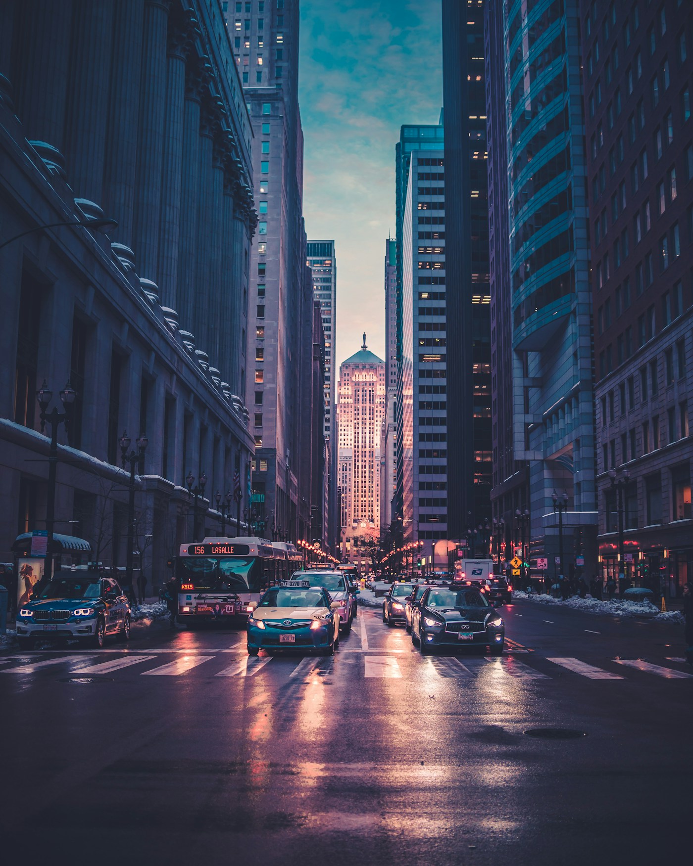
Ocean Drive District, Miami Beach
25.7826° N, 80.1341° W · ±140m radius
Shadow azimuth (248° WSW) and 14.2° solar elevation lock the capture window to 17:22–17:48 EDT on the South Florida coast.
Sabal palmetto crown silhouette and stepped Art Deco cornice narrow the coastline to South Florida.
Low-angle golden reflection across the deck slats matches 25.7° N latitude pre-sunset geometry.
Miami-Dade HVHZ laminated balcony rail profile standard in South Beach coastal properties.
▸ Technical Specifications & Verification FAQ↓
AI geolocation combines computer vision feature extraction with Geographic Information System (GIS) topology. By intersecting visual constraints—such as highway orientation, elevation contours, and arid/temperate biome boundaries—it narrows global search spaces to verifiable coordinates.
How can AI geolocation verify whether a photo timestamp is authentic?
By measuring the shadow azimuth and length ratio in the image and comparing it with the solar position for the claimed EXIF date and coordinate, you can immediately detect falsified timestamps.
What ethical guardrails govern LocatePic AI geolocation?
LocatePic strictly enforces our Acceptable Use Policy: the workbench is engineered for landscape, infrastructure, architectural, and archival verification—never for stalking or invading private residences.
Does it support arid and rural environments?
Yes. Switch to Calibration Exhibit EX-02 (Qaidam Basin) in the workbench above to see how roll-compensated horizon fitting locates an unlabeled desert road.